【Chair】Orhan ALTAN

1965 – 1970 Studied at the Faculty of Civil Engineering at Istanbul Technical University.
Honorary Member of the Science Academy (Bilim Akademisi) and Honorary Fellow of the Indian Remote Sensing Society
Published more than 200 scientific papers and edited more than 20 international books.
Positions in international organisations.
• 2000-2006 CIPA “International Committee of Architectural Photogrammetry” Executive Board Member
• 2000-2004 ISPRS Congress Director/Organizer of the 2004 Congress in Istanbul.
• 2004-2008 Secretary General of ISPRS
• 2008-2012 President of ISPRS
• 2012-2016 1st Vice President of ISPRS
• 2016- Honorary Member of ISPRS; given to individuals whose efforts in Photogrammetry and Remote Sensing are exceptionally distinguished not more than 10 at any time
【Co-Chair】Alexander Rudloff
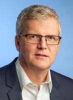
BORN 1964, CITIZENSHIP GERMAN,IUGG SECRETARY GENERAL (ELECTED FOR 2019-2023),AFFILIATION GFZ GERMAN RESEARCH CENTRE FOR GEOSCIENCES, LOCATED AT POTSDAM/GERMANY。
CURRENT POSITION: STAFF MEMBER, SCIENTIFIC EXECUTIVE BOARD (SINCE 2007)
• 2005 – 2007 PROJECT MANAGER FOR GITEWS – GERMAN INDONESIAN TSUNAMI EARLY WARNING SYSTEM
• 1998 DOCTORATE AT FREE UNIVERSITY (FU) BERLIN/GERMANY, DEPT. OF GEOSCIENCES
• 1993 DIPLOMA IN GEOPHYSICS, FU BERLIN
- UNESCO/IOC | INTERGOVERNMENTAL OCEANOGRAPHIC COMMISSION, NEAMTWS (NORTH-EAST ATLANTIC, MEDITERRANEAN AND CONNECTING SEAS TSUNAMI EARLY WARNING SYSTEM – PERMANENT MEMBER OF GERMAN DELEGATION SINCE 2008, TASK TEAM MEMBER 2011
- DKKV | GERMAN COMMITTEE FOR DISASTER REDUCTION – BOARD MEMBER, SINCE 2019
- PARTICIPANT AND DELEGATION MEMBER AT THE THIRD UN WORLD CONFERENCE ON DISASTER RISK REDUCTION (WCDRR) IN SENDAI/JAPAN, MARCH 2015
- BROAD EXPERTISE IN GEOSCIENCES (E.G. GEOPHYSICS, GEODESY, GEODYNAMICS) AND IN RELATED TOPICS.
- BESIDE THIS IT EXISTS A PROFOUND EXPERTISE IN NATIONAL AND INTERNATIONAL BOARD AND PANEL WORK.
- EDITOR (SPECIAL ISSUE) OF NATURAL HAZARDS AND EARTH SYSTEM SCIENCES (NHESS): //nhess.copernicus.org/articles/special_issue100.html
- LINK TO EXTENDED IUGG CV: //www.iugg.org/administration/2019CV/IUGG_CV_ARudloff.pdf
【Members】
Jie JIANG
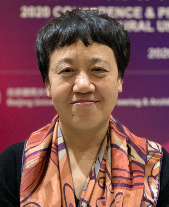
Prof. Dr. Jie Jiang received her BSc. and MSc. degrees in Applied Geophysics from the Changchun University of Geology, China, in 1985 and 1988, respectively. In 2000, she completed her research study at China University of Mining and Technology (Beijing) and obtained her PhD in Surveying Engineering. She had worked as a remote sensing and GIS specialist in the Municipal Urban Planning and Management Information Center of Changzhou from 1989 to 1999. From 2000 to 2018, she had worked in the National Geomatics Center of China (NGCC) as a Senior Engineer and Division Director. During her time at NGCC, she had been in charge of many national-level projects on remote sensing and GIS applications, among them the most important ones included the National Platform for Geoinformation Services, Global Mapping with Chinese Satellite Images, the National Geodatabases for E-government, and the National Databases for In-car Navigation. Since October 2018, she has worked as full professor in School of Geomatics and Urban Spatial Informatics, executive dean in International Development Research Institute, Beijing University of Civil Engineering and Architecture (BUCEA).
She has served as the ISPRS officer since 1998. She is now ISPRS Fellow, and the Vice President of the ISPRS TC III on remote sensing (2016-2021). She got the National Science and Technology Progress Award of China (2nd prize) in 2016, and more than 10 Science and Technology Progress Awards from Ministry level. She got the ISPRS President’s Citations in 2012, ISPRS The Eduard Dolezal Award in 2004.
R. B. Singh
Dr. R.B. Singh is Professor since 1996 to 2020 and Coordinator UGC-SAP-DRS III and Head-2013-2016, 2019-20 in the Department of Geography, Delhi School of Economics, University of Delhi, India. Earlier served as UGC Research Scientist-B (1988-1996) and Lecturer (1985-1988); Prof. Singh got elected as first Indian and second Asian Secretary General and Treasurer of the International Geographical Union for 2018-22. Dr. Singh is presently Member-International Science Council: Scientific Committee-UHW since 2016; He is Member Vision India 2035, NITI Aayog, Government of India. He has supervised 35 Ph.D. and 81 M.Phil students. He has to his credit 15 books, 35 edited research volumes and more than 240 research papers.
Sisi Zlatanova
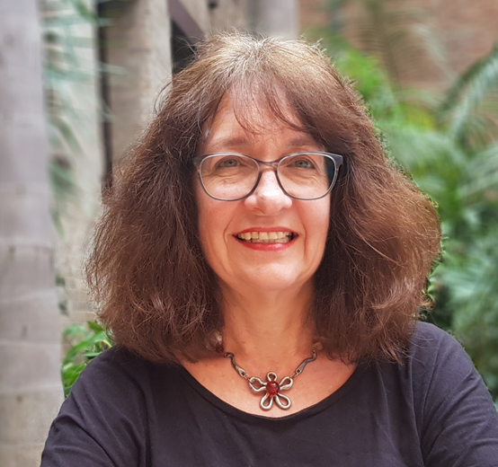
Sisi Zlatanova is a SHARP Professor at the University of New South Wales UNSW). Faculty of Built Environment and Head of the Geospatial Research, Innovation and Development (GRID) lab. Her research interests are in 3D modelling and more specifically integration of BIM and GIS, 3D Indoor modelling, 3D representations, 3D data management and visualisation. Together with a team of excellent researchers, she advances the 3D capabilities of Spatial Information Systems. She is keen exploring new directions for research, but she is also developing and promoting international spatial standards. She is actively involved in the activities of the Open Geospatial Consortium (OGC) and Standards Australia. She is the President of Technical Commission IV ‘Spatial Information Science’ of the International Society for Photogrammetry and Remote Sensing (ISPRS) for the period 2016-2021 and Treasurer of the Urban Data Management Society (UDMS). She enjoys organising and supporting conferences and workshops providing forums for exchange of research results, knowledge and lessons learned. She is one of the founders and a regular participant of Gi4DM, 3DGeoinfo and Indoor3D. She has more than 400 scientific publications and edited 22 books. She works with companies and institutions towards maturing the concepts of spatially enabled Digital twin.
John L. LaBrecque

John L. LaBrecque is a Fellow of the International Association of Geodesy, Chair of the IUGG GeoRisk Commission and leads the Geohazards Monitoring Focus Area of the Global Geodetic Observing System. John LaBrecque is a 1977 graduate of Columbia University and a former senior research scientist of Columbia’s Lamont-Doherty Earth Observatory where he conducted geophysical research in global tectonic evolution and geopotential fields using ocean surveying and drilling ships, aircraft, and satellites including the early evaluation of GPS for geophysical research. In 1993, Dr. LaBrecque joined NASA’s Solid Earth Program where he encouraged the development of ground and spaceborne GNSS applications for environmental and geohazards measurement. Dr. LaBrecque served as program scientist for several NASA missions including the Shuttle Radar Topography Mission, the GRACE gravity missions, and numerous international GPS occultation missions including SAC-C, CHAMP, Oersted, and COSMIC. Dr. LaBrecque is the 2009 recipient of the Golden Medal of Merit from the Institute of Applied Astronomy of the Russian Academy of Sciences, and the 2013 recipient of the American Geophysical Union’s Edward A. Flinn III Award. Dr. LaBrecque retired from NASA in May, 2014. Dr. LaBrecque has published over 75 peer reviewed papers on geomagnetism, seismology, gravity, tectonics, geomorphology, and natural hazards. Dr. LaBrecque is focused upon the GNSS enhancement of Tsunami Early Warning Systems (GTEWS) for the Indo-Pacific region.
Tullio Joseph Tanzi
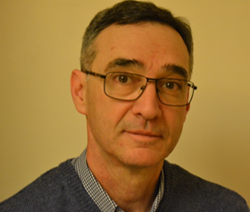
Prof. Ing. Dr. Tullio Joseph Tanzi is Professor in Institut Polytechnique de Paris- Telecom ParisTech, in LabSoc laboratory.
His research interests lie in the areas of network communication, Risk management, network architecture, safety, network, disaster management, natural disasters, IT systems, and radio science.
He is currently Incoming-Chair of the Commission F Wave Propagation and Remote Sensing (planetary atmospheres, surfaces, and subsurfaces) of International Union of Radio Science (Union Radio-Scientifique Internationale), URSI, and Past-Chair of the International Society for Photogrammetry and Remote Sensing, ISPRS Joint Working Group ICWG III/IVa: Disaster Assessment (2016-2020), Monitoring and Management, which is a joint initiative of URSI and ISPRS.